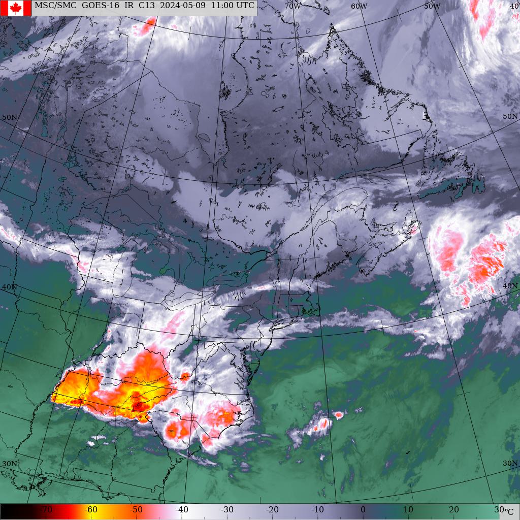
Monday, January 15th 8:30am.. PEI is caught between High pressure centered just west of NB and a frontal boundary draped NE-SW off the east coast of NS. The N-NE wind between these systems is maintain cloud and flurrie activity across the island as it blows in off the open waters of the Gulf. The area of high pressure will drift off to the NE today and an area of low pressure will form along the frontal boundary off Cape Hatteras. This low will ripple NE along the front and pass near Sable Island near dawn tomorrow. This system will bring snow to NS where heavy snowfall warnings have been posted for eastern NS and Cape Breton. This area of snow will just scrape the island giving 2-7 cms snow with the heavier amounts in eastern Kings county which will be close to the storm track. The system pulls away tomorrow allowing high pressure to crest over the island late tomorrow night into early Wednesday morning. Things then start to get interesting again. The models are having the energy developing off the east coast mid week with a couple of low pressure systems developing and tracking NE into the Maritimes. The challenge is the track and intensity. The first system tracks into NS Wednesday with snow developing across the island near noon. The second potentially more powerful system tracks east of NS on Friday with another round of snow for the island. The weekend is looking good right now with high pressure in control.
Precipitation.. Flurries fell yesterday and overnight across the island in the N-NE flow but amounts were quite light. Snow begins late tonight ending tomorrow afternoon. Eastern Kings county will get the most with 5-7 cms. Lesser amounts further west with Charlottetown 2-3 cms and a dusting up west. With low confidence, The next 2 systems could bring 10-15 cms each falling on Wednesday then again Thursday night into Friday morning. As mentioned earlier, the various models are having difficulty handling these 2 systems so expect changes as more data comes in and the models begin to come more in line. Stay tuned.
Temperatures.. Are fairly close to normal until the end of the week with no real cold air around.
Wind.. Light-brisk N-NE winds today and tomorrow. Calm tomorrow night into Wednesday morning then light southerlies develop on Wednesday.
Hazards.. Light snow tonight across eastern half of the island tonight into tomorrow morning. Some blowing and drifting snow expected as well across eastern PEI where more snow accumulations expected. Snow on Wednesday and again on Thursday night into Friday.
Watches/warnings.. None for PEI at this time.
Forecast..
Today.. Flurries this morning then sun and cloud, light NE winds, highs -6
Tonight.. Snow developing giving, light-brisk NE winds giving some local blowing and drifting snow, lows temps steady near -6.
Tomorrow. Any snow ending early then cloudy, brisk N-NE winds, highs -4
Wednesday.. Snow developing near noon, brisk NE winds, highs -3 by evening.
Thursday.. Cloudy with flurries, Snow redeveloping late, light north winds, highs -2
Friday.. Snow tapering to flurries, brisk north winds, highs -6
Saturday.. Sun and cloud, south winds, +3
Sunday.. Sun and cloud, west winds, +2


